Randal R. Ketchem Photography
Landscape and Nature Photography
Instagram @randalketchemphoto
Etsy Store https://ketchemphotography.etsy.com/
All images and text © Randal R. Ketchem unless indicated otherwise. All rights reserved. No form of reproduction is permitted without written authorization from Randal R. Ketchem.
Neither Randal R. Ketchem Photography nor Randal R. Ketchem is responsible for any mental, physical, or emotional damage caused by the viewing of these images.

Information
- Author
- Randal R. Ketchem
- Photo ID
- d20141122151352
- Description
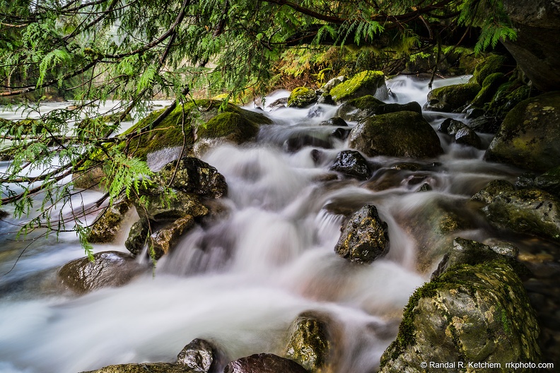
- Twentytwo Creek flows from Lake 22 near the Mountain Loop Highway into South Fork Stillaguamish River.
- Created on
- Saturday 22 November 2014
- Posted on
- Saturday 22 November 2014
- Tags
- color, creek, fern, ferns, flow, green, Mountain Loop Highway, river, South Fork Stillaguamish River, spray, tree, trees, Twentytwo Creek, WA, Washington, water
- Albums
-
All
Favorites
Mountain Loop Highway
Trees
Water
- Visits
- 34708
- Rating score
- no rate
- Rate this photo
- Who can see this photo?
EXIF Metadata
SONY ILCE-7R
FE 24-70mm F4 ZA OSS
f/16/1
2/1
100
- Copyright
- © Randal R. Ketchem
- Artist
- Randal R. Ketchem
- Make
- SONY
- Model
- ILCE-7R
- DateTimeOriginal
- 2014:11:22 15:13:52
- ApertureFNumber
- f/16.0
- FNumber
- 16/1
- ExposureTime
- 2/1
- ISOSpeedRatings
- 100
- FocalLengthIn35mmFilm
- 24
- UndefinedTag:0xA434
- FE 24-70mm F4 ZA OSS
Powered by Piwigo
