/
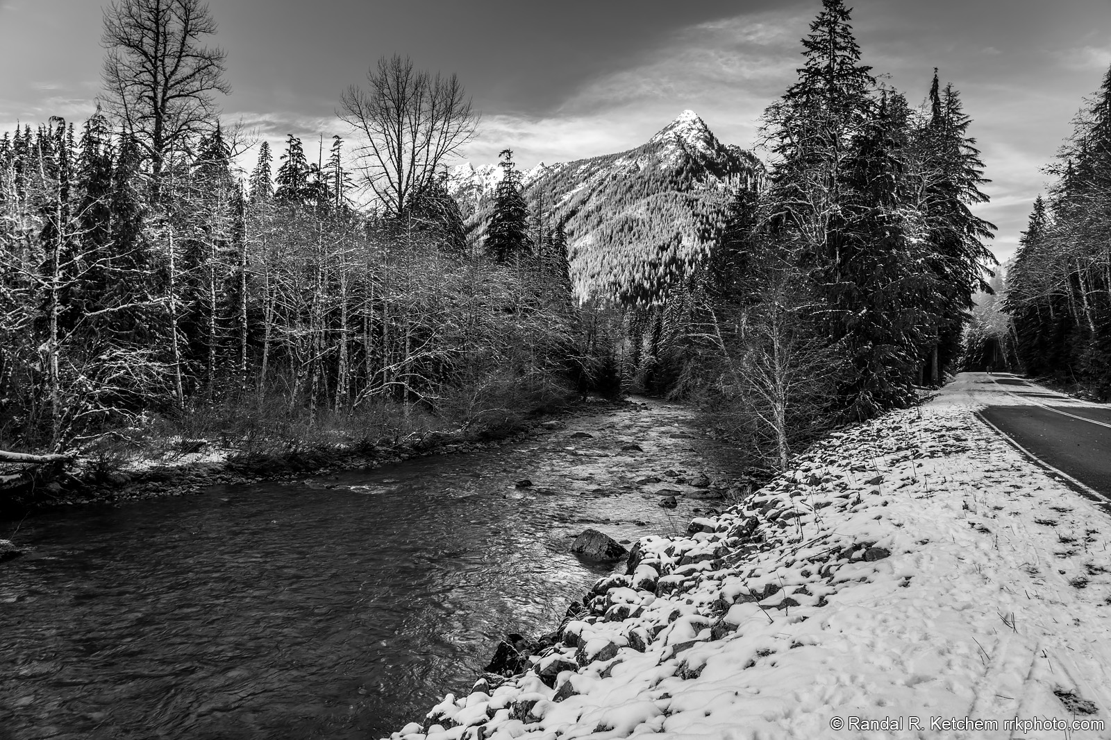
Long Mountain, Mountain Loop Highway
The South Fork Stillaguamish River flows along Washington's Mountain Loop Highway toward Long Mountain.
Technical & Exposure Details
ID: d20201224122624_bwCamera & Lens
Camera: Sony ILCE-7RM4
Lens: FE 24-105mm F4 G OSS
Tripod: Manfrotto Befree GT XPRO Carbon, 496 ball head
Capture Medium: Digital
Exposure Pyramid
Focal: 26 mmAperture: f8
Shutter: 1/25 ssISO: 100
Exposure Comp: 0 Ev
White Balance: 7500 +16
Dimensions & Date
Date: 2020-12-24
Resolution: 9504 × 6336 (60.2 MP)
Available for Order
Coordinates:48.08363, -121.53557
Open in Google Maps ↗Map data © OpenStreetMap © Esri