/
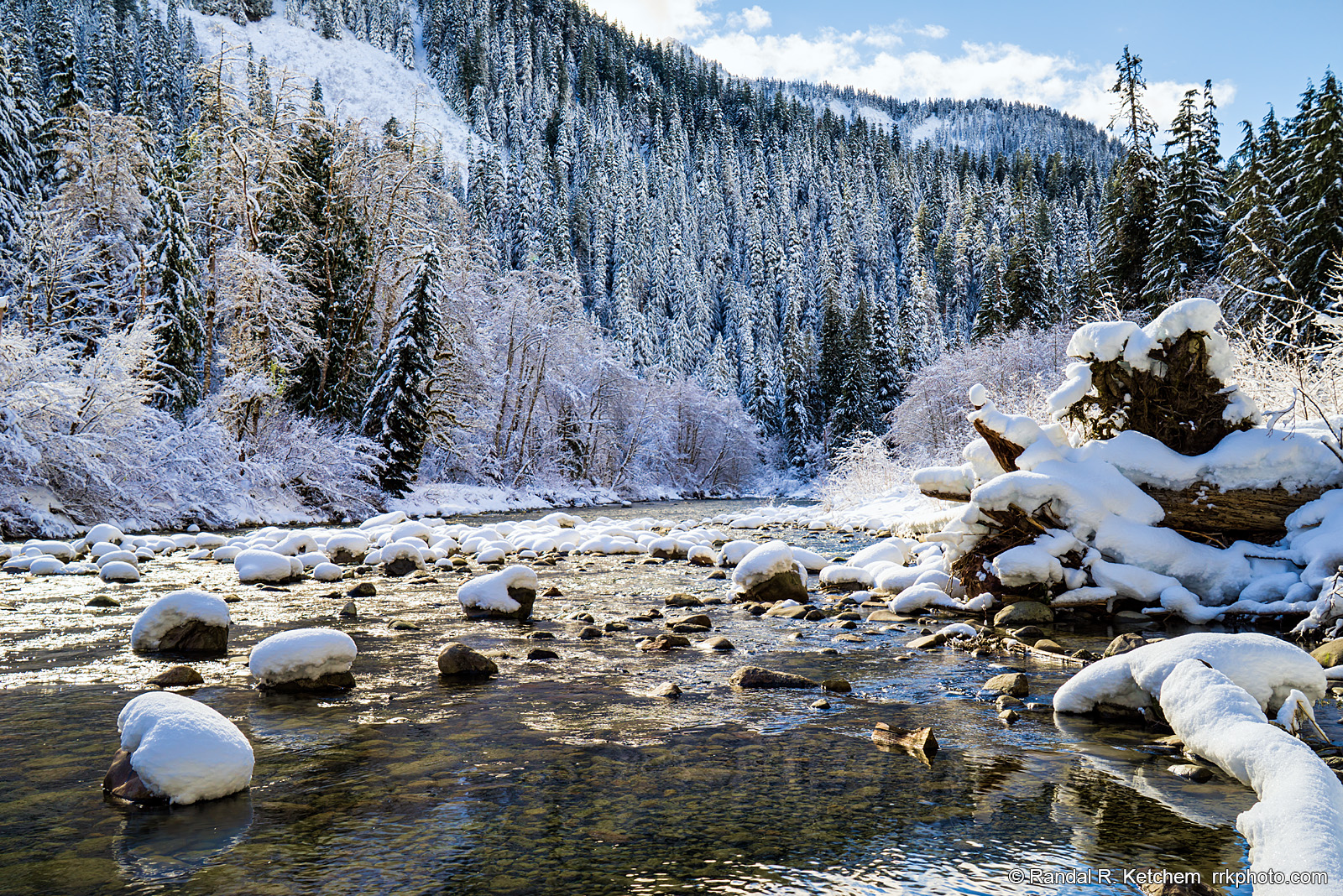
South Fork Stillaguamish River, End of the Road
The South Fork Stillaguamish River winds along the Mountain Loop Highway near the road closure gate at Deer Creek Road. The grip of winter covers the landscape in snow and ice.
Technical & Exposure Details
ID: d20180219132738Camera & Lens
Camera: Sony ILCE-7R
Lens: FE 24-70mm F4 ZA OSS
Tripod: None
Capture Medium: Digital
Exposure Pyramid
Focal: 38 mmAperture: f11
Shutter: 1/30 ssISO: 100
Exposure Comp: 0 Ev
White Balance: 6500 +10
Dimensions & Date
Date: 2018-02-19
Resolution: 7360 × 4912 (36.2 MP)
Available for Order
Coordinates:48.08485, -121.54619
Open in Google Maps ↗Map data © OpenStreetMap © Esri