/
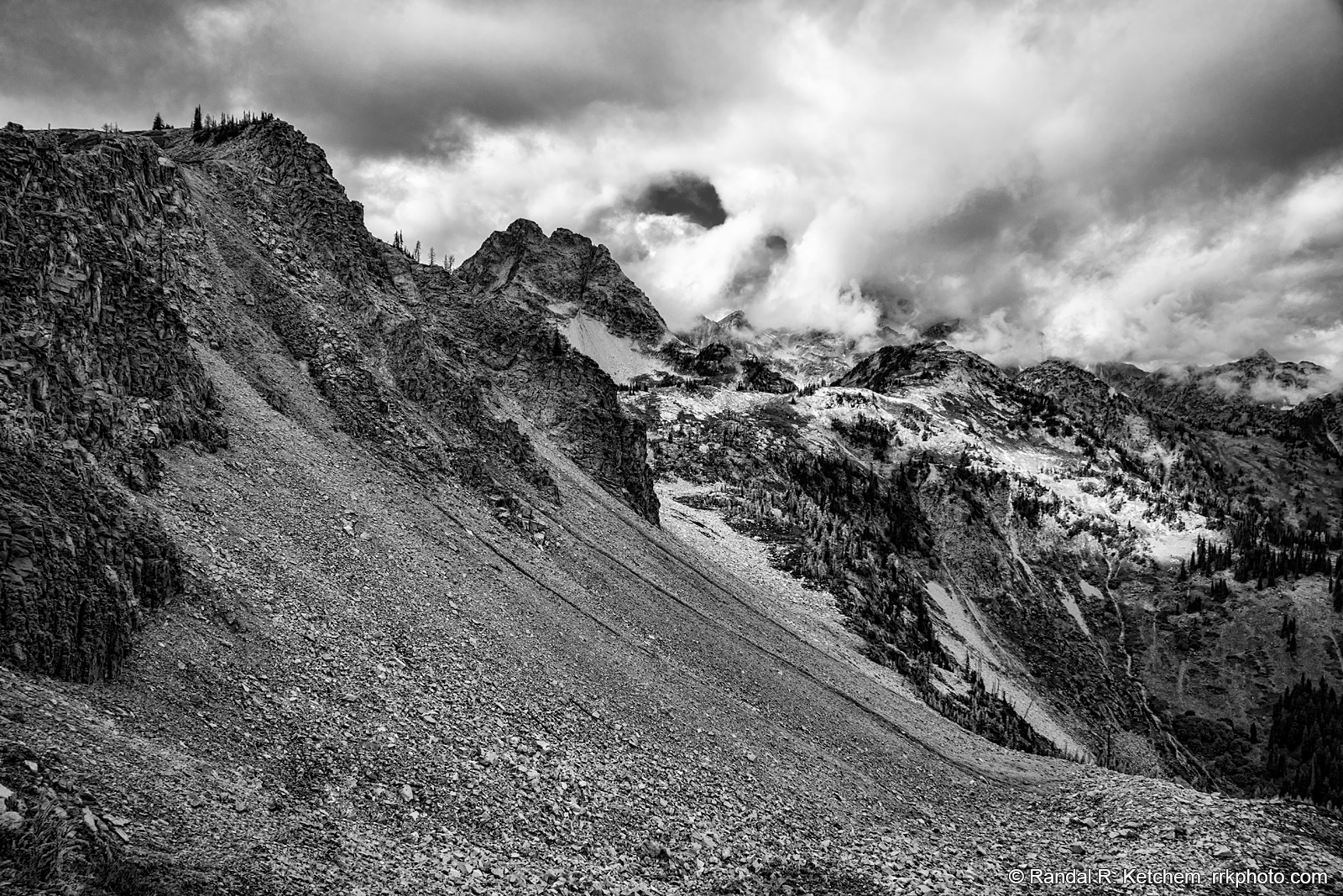
Maple Pass, Angry Clouds
Nearing the high point of the Maple Pass hike, the scree slope leads down to Ann Lake, nestled in the bowl of Maple Pass in the North Cascades National Park region along Washington's Highway 20. Taken from the Maple Pass trail.
Technical & Exposure Details
ID: d20150926124543_bwCamera & Lens
Camera: Sony ILCE-7R
Lens: FE 24-70mm F4 ZA OSS
Tripod: None
Capture Medium: Digital
Exposure Pyramid
Focal: 24 mmAperture: f11
Shutter: 1/200 ssISO: 200
Exposure Comp: -1.3 Ev
White Balance: 6400 +12
Dimensions & Date
Date: 2015-09-26
Resolution: 7360 × 4912 (36.2 MP)
Available for Order
Coordinates:48.50402, -120.76526
Open in Google Maps ↗Map data © OpenStreetMap © Esri